An OS map of the Selsdon area dated 1894 is available in the Francis Frith collection at https://www.francisfrith.com/selsdon/maps. Not much is recognisable, though Selsdon Wood is named.
The Frances Frith collection also has 64 photos of old Selsdon at https://www.francisfrith.com/uk/selsdon/photos.
Thanks to Ian Leggatt for these links.
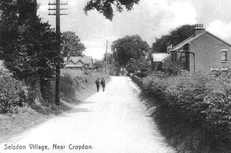
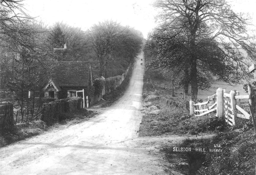
Photographs of Selsdon in days gone by
All have been sent in by the Selsdon residents thanked in each caption.
Photographs are in chronological order (where the date is known).
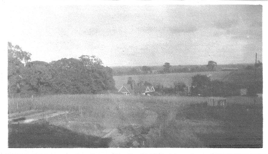
The Sanctuary Tea Rooms c 1926/7 - taken from the back of 26 Foxearth Road. The Tea Rooms were where the Village Club now is. Thanks to June Carmichael.
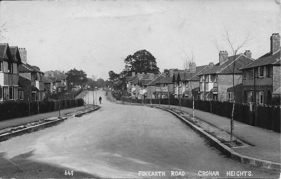
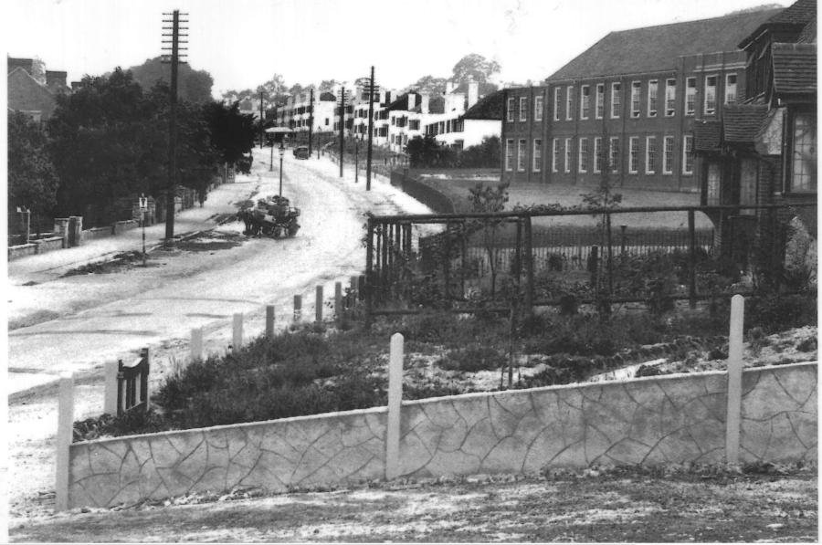
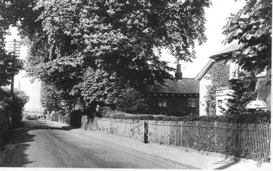
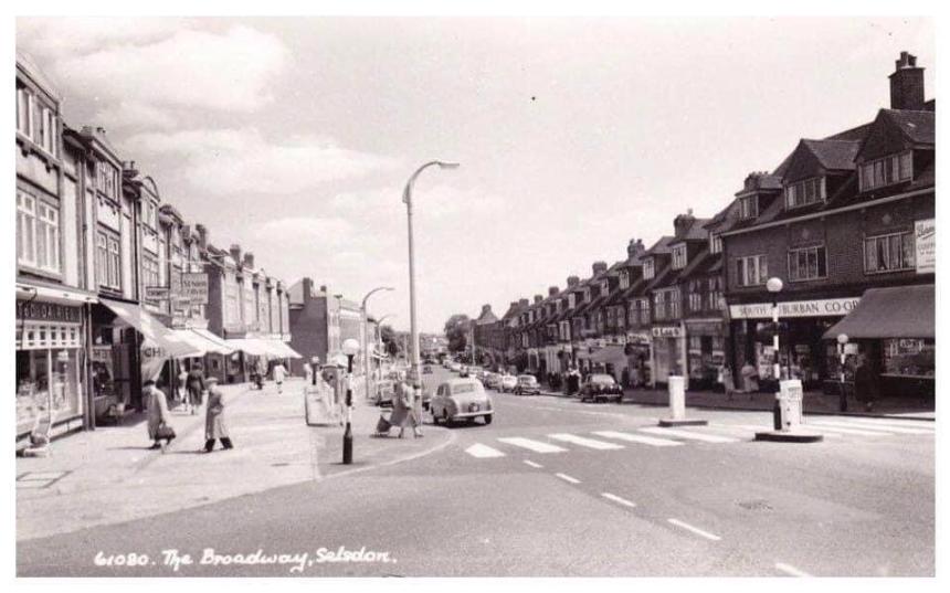
Selsdon in 1960. The Julian Huxley pub was at that time the Co-Op and Kiba was United Dairies.
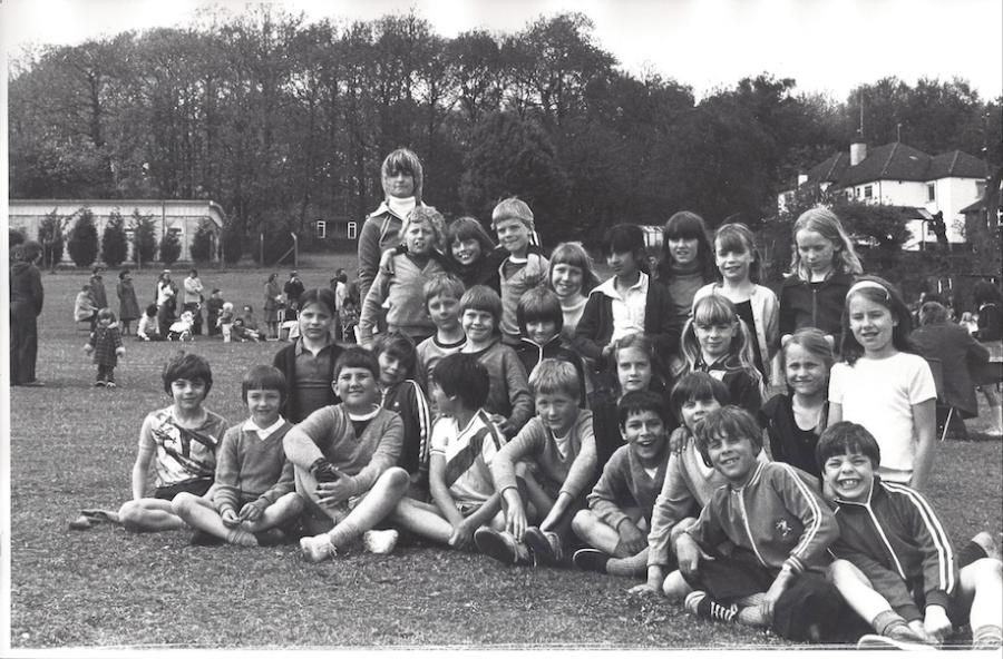
The Terrors of 2G 1979 - a class at Selsdon Primary School on Sports day 1979. Thanks to Heather Govier - the grumpy looking teacher! If you spot yourself, or anyone you know, we would love to hear from you.
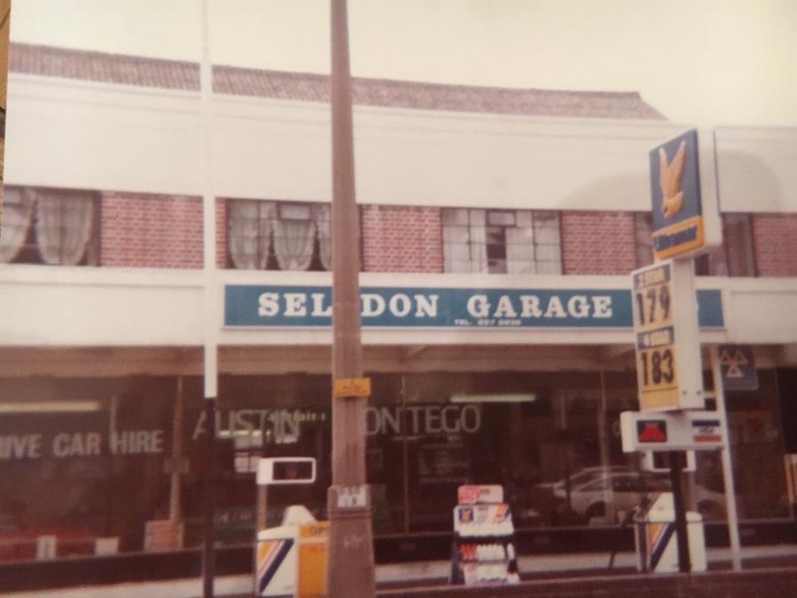
The Great Storm of 1987 - October 15th - 16th
Thanks to David Richardson for this collection of photographs of the damage done all around our region by the great storm on the night of 15/16 October 1987.
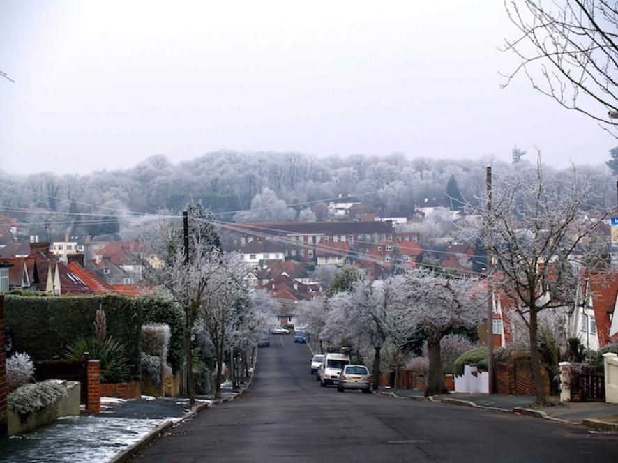
York Road in the frost 10th January 2009 - Thanks to Alan Cook.
Smallworths in the location that used to be Woolworths (see above) before Smallworths moved down the road to the current premises c2015 - Thanks to Ian Leggatt
Several other websites also have photographs of old Selsdon. For copyright reasons they have not been reproduced here but links are provided below.
There are some fascinating aerial photographs of old Selsdon at https://britainfromabove.org.uk/en/search?keywords=selsdon&country=england&year=all - dated 1926 - 1937. Thanks to Ian Leggatt.
There are also many photographs on the Bygone Croydon Facebook page. and also on that of the Croydon and Surrounding Areas History Group group that welcomes new members. Thanks again to Ian Leggatt.